ABOUT Uzbekistan
Uzbekistan is a doubly landlocked country located in Central Asia that borders the countries of Afghanistan, Kazakhstan, Kyrgyzstan, Tajikistan, and Turkmenistan. Uzbekistan has a varied landscape that includes a rolling sandy desert, mountains along the border with Tajikistan, and the Aral Sea in the west. The government system is a republic under authoritarian presidential rule, with little power outside the executive branch; the chief of state is the president, and the head of government is the prime minister. Uzbekistan has a mixed economy in which there is limited private freedom, but the economy remains highly controlled by the government. Languages: Some 74.3 percent of the population speaks Uzbek, 14.2 percent Russian, and 4.4 percent Tajik.
Capital: Tashkent
Currency: Uzbekistani soʻm
President: Shavkat Mirziyoyev
Population: 3.36 crores (2019) World Bank
Climate
The climate of landlocked Uzbekistan is continental, with hot summers and cool winters. Summer temperatures reach 40°C, averaging 32°C. Winter temperatures reach –38°C, averaging –23°C. Rainfall averages vary between 100 millimeters per year in the northwest and 800 millimeters per year in the Tashkent region. Precipitation falls mainly in the winter and spring. Time Zone: Uzbekistan’s time zone is five hours ahead of Greenwich Mean Time.
ABOUT FERGANA
The northern part of the Fergana region is occupied by the Karakalpak and Yazyavan steppes, and is bounded on the south by a tributary of the Olay ridge. Fergana region is a high seismic zone. The climate is continental, the winters are mild, sometimes very cold. The average temperature in January is 3.2 C, in July – 28 C. The lowest temperature is 27.9 C. The maximum temperature is 42 C. Strong “Kokand wind” blowing in the west of the valley has a negative impact on the climate. In the south-east it blows summer wind. Annual precipitation ranges from 100 mm in the west (around Kokand) to 170 mm in the east, and up to 270 mm on the mountain slopes, mainly in the spring. Vegetation period is 210–240 days. The Syrdarya River flows along the north-western border of the region. Isfara, Sokh, Shohimardon, Isfayramsay start from the Alay ridge. The rivers are saturated with ice and snow. There are mainly gray soils and meadow-swamp soils, mostly hungry and typical gray soils on the hills, alluvial-meadow soils on the terraces of the Syrdarya, sandy and loamy meadows in the northern part of the region.
Education
Today, 946 secondary schools, academic lyceums, 1,870 preschool education institutions and 20 libraries operate in the region. There are 5 higher education institutions in the region: Fergana State University, Fergana Polytechnic Institute, Kokand State Pedagogical Institute, Tashkent University of Information Technologies Fergana branch, Tashkent Medical Academy Fergana branch.
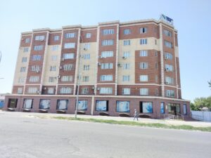
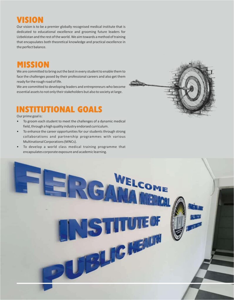
ABOUT UNIVERSITY